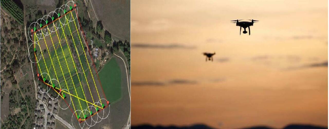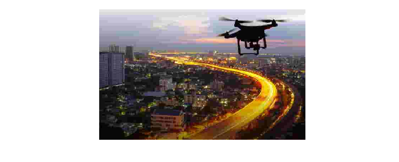
In the first of its kind venture, Karnataka with the partnership of Survey of India is linking the land with digitized ownership records. The survey carried out with drones flying high over the lands, will first span Tumakuru, Hassan, Uttara Kannada, Belagavi, Ramanagaram, and Bengaluru. The project is estimated to cost 125 crore rupees.
The result of digitally linking land and ownership records is expected to revolutionize land planning and rural-urban development, with changes in ownership automatically reflecting in the geo-referenced map details of RTC(Rights, Tenancy & Crop)records. It was in February this year that Karnataka formally inked an agreement with the Survey of India to take up a technology-driven, drone-based survey. The last revenue survey in the state happened between 1955 and 1966.
“Now, our drones have flown for about a month. We have to digitize whatever the drones have captured, obtain images and correlate them with our manual maps. Then, the maps will be printed along with the RTCs,” he said. “Once georeferenced, any sub-division (hissa) created will keep getting reflected in the RTCs,” said Commissioner for Survey, Settlement and Land Records Manish Mudgil.


Post Your Comments