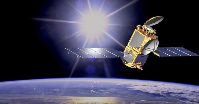
A week after it sent four astronauts to the International Space Station for the first time, Space-X launched the first of two satellites Saturday that will monitor sea level rise over the next decade.
NASA’s Sentinel 6-Michael Freilich oceanography satellite – a joint venture with the European Space Agency – began a five-and-a-half-year mission to collect “the most accurate data yet on global sea level and how our oceans are rising in response to climate change,” according to NASA.
Thomas Zurbuchen, head of science at NASA, said, “The question of whether the oceans go up or not [as the planet heats up] has been settled by these satellites, it’s not a question.” “Just as sure as gravity right here where I’m sitting, these oceans are going up and we need to handle what that does to our lives.”
NASA scientists will be able to make higher-resolution observations much closer to shore with the new satellites, which will allow for more precise weather forecasts just before storms make landfall. As a big storm develops over the sea, the water buckles up. A satellite can pick up on that bubble of water rising and use that information for forecasts. The encroaching water makes flooding and storm surges increasingly dangerous. It’s also drowning entire islands and coastal communities.

Post Your Comments