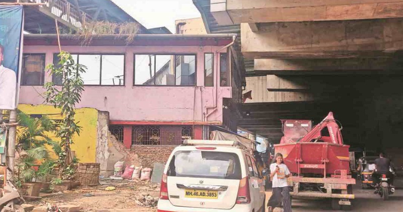
Satellite pictures will be used by the BMC to identify unlawful projects and encroachments in the city. These photographs will be used by the civic council to develop a database that will compare the variation in original structures over the previous 30 years.
Chief Minister Uddhav Thackeray has asked the corporation to take action against unlawful structures. The BMC will capture satellite photos of Mumbai from 1990 to 2020 and map these constructions as part of the project. It will also use a Geographic Information Technology (GIS) system to develop a database of Mumbai’s structures in order to detect unlawful construction.
The local government has chosen Amnex Infotechnologies Private Limited to complete the project. The project would cost Rs 11.20 crore, with a four-year and three-month contract.
On Thursday, the Standing Committee will consider a proposal to select a contractor to create a database of satellite pictures for detecting unlawful building.
‘We wanted to create a database of deviation in structures existing after 1960 since all structures before that are termed as legal. However, there was no data available. So, we have to create a database of satellite images of the city after 1990. We will create a software where all data will be used to understand the changes in the structures’, said an official from the Removal of Encroachment (RE) Department.
Also Read: India’s WPI inflation rises to 12.54% in October
The BMC took action following the Bombay High Court’s directives on unlawful structures in the city. The city council told the High Court in 2019 that they will utilise satellite pictures to identify the illegal buildings.
Ravi Raja, the head of the opposition, has alleged that there are over 80,000 complaints in the city about unlawful projects. He chastised the corporation for taking so little action against these structures, citing statistics that showed action was done in only 5% of the cases.

Post Your Comments