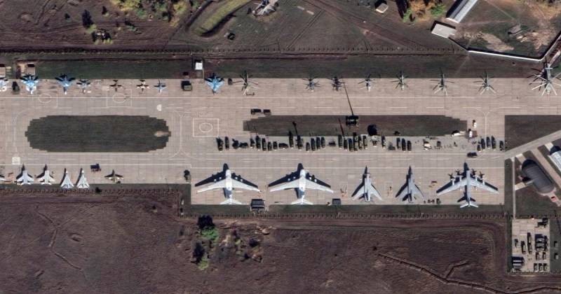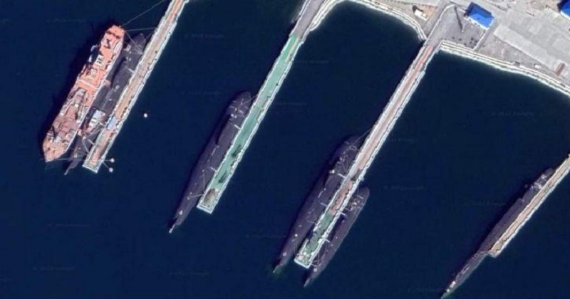
Yesterday, the internet got an excellent peek at what Russian military sites look like, courtesy of Google Maps’ satellite view, which Google is notorious for blurring. The Ukrainian Armed Forces broke the news first, claiming that Google’s blocking of Russian bases on Twitter has come to a stop. A few pictures showed planes, submarines, and even intercontinental ballistic missiles (ICBMs) placed at military bases, giving us a fair sense of Russia’s capability. A few Sukhoi fighter planes with blue livery, as well as a few MIG-31s, may be seen at one Russian base.


Google, on the other hand, says that it was not done deliberately to offend Russia. In reality, these areas were visible prior to the Russian-Ukraine conflict. In an interview with The Verge, Google spokesman Genevive said, ‘We haven’t made any blurring adjustments to our satellite imagery in Russia,’ while also asserting that the photographs being disseminated are genuine. To the uninformed, Google was known to obscure such critical places in order to keep them out of the view of the average user. Nonetheless, there were a few areas that did not receive the blur treatment.

It also goes without saying that governments have access to significantly greater satellite imaging, which can provide more recent and comprehensive information. As a result, the unblurring will not make things easier for Ukraine’s military. However, as ArsTechnica points out, it might be useful to the burgeoning community of open-source intelligence analysts, who have been recording Russian losses based on geolocated photographs of wrecked vehicles, tanks, and planes.

Post Your Comments