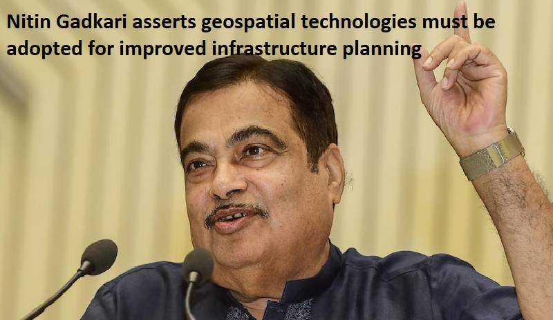
On Monday, Nitin Gadkari, a minister in the Union, advocated the use of geospatial technologies to enhance infrastructure development. The Road Transport and Highways Minister emphasised the significance of technology in the development of all infrastructure projects, particularly at the planning stage to enhance planning, improve the quality of construction, and avoid wasting money in the future.
Nitin Gadkari stated during the opening session of GeoSmart Infrastructure 2022 Digital Empowerment of Transport Infrastructure Development that organisations involved in producing detailed project reports (DPRs) for infrastructure projects should be educated on the use of suitable technologies, such as Geo Information System (GIS) data and digital maps. According to the Union minister, this would aid in improved planning and design, which would lead to projects being more long-lasting, sustainable, and cost-effective in the long term.
Geospatial services are now being used on a far bigger scale for efficient highway planning and to cut down on both the cost and duration of construction, according to Amit Kumar Ghosh, additional secretary, MoRTH.
‘GIS maps contain detailed visual representation of existing constructions, topography, obstacles and hindrances which can be efficiently utilized for creation of resilient highway infrastructure,’ Amit Kumar Ghosh said.

Post Your Comments