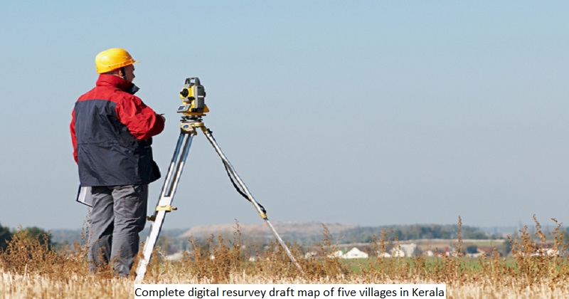
Five villages have had their digital resurveys completed, and ten more will be added by the end of the month. Two of the five villages have provided draught maps, and the others will do so within the next few days. The notification of the draught map gives people one month to file complaints under Section 9(2) of the Kerala Survey and Boundaries Act, 1961. It was published on April 5 and not a single complaint was received until Wednesday, said the village of Ujar-Ulwar in Kasaragod. The digital resurvey is more accurate than previous technologies and equipment such as the Total Station. Previously, when a draught map of 25,000 land parcels was published, we would receive at least 5,000 complaints. This time we expect only a small number, said an official source. Thiruvananthapuram received the draught map on Wednesday, and three other districts — Ottoor in Thiruvananthapuram, Mangad in Kollam, Alappad in Thrissur, and Ponmundam in Malappuram — will receive theirs in the coming days. While Ujar-Ulwar is a small village with an area of 170 hectares, Veyiloor has an area of 1,305 hectares, Ottoor has 949 hectares, Ponmundam has 916 hectares, Mangad has 650 hectares, and Alappad has 572 hectares.
Landowners are asked to check the map, which will be available at the village office or the government’s Ente Bhoomi portal during the notification period. They should all double-check that the information is correct. They should look into the owner’s name, the area, the bend points, and the land’s category, such as wetland or dry land. Complaints about the draught map should be directed to the village office or through portal.

Post Your Comments