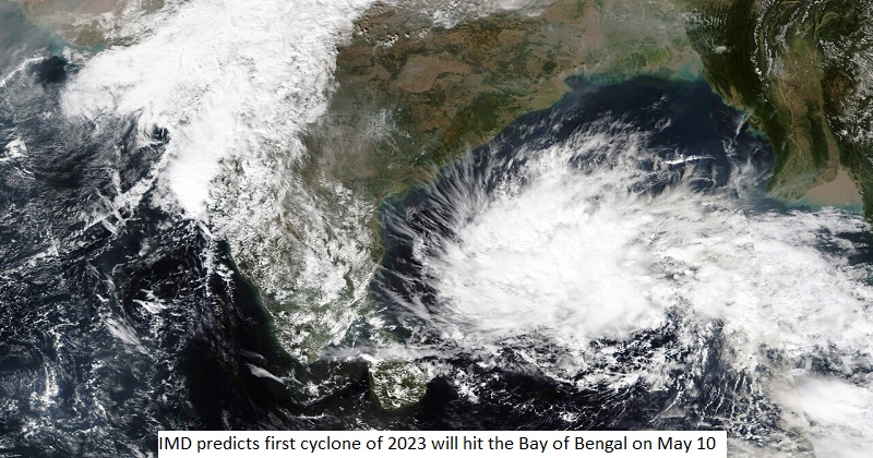
The Indian Meteorological Department (IMD) has now confirmed the cyclonic circulation over the southeast Bay of Bengal on May 6 after a week of doubt. Under its influence, a low-pressure area is expected to form over the same region on May 7, then consolidate into a depression over the Southeast Bay of Bengal on May 8. The IMD has recommended the marine population, particularly fishermen, small ships, boats, and trawlers, not to enter into the Southeast Bay of Bengal from May 7 onwards since sea conditions are likely to be rough. However, its intensity, track, and landfall on Indian soil are not identified in the current forecast. According to IMD, squally weather will prevail around Andaman & Nicobar and its adjoining region on May 7. Rain will fall throughout the area, with gusty winds of 50-60 km/h. On May 8, the cyclone will travel towards the middle Bay of Bengal, where wind speeds will reach 60-70 km/h. Furthermore, if its strength increases on May 9, it will most likely follow a track. However, there is currently no forecast of cyclone landfall on Indian land. IMD initially noticed low-pressure area activity over the southeast Bay of Bengal on April 27. It has been monitored on a regular basis since then. It made its announcement on April 28 and May 2.

Post Your Comments