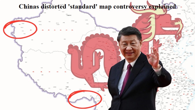
Provoking its neighboring nations, China has unveiled its official ‘standard map,’ which incorporates the Indian northeastern state of Arunachal Pradesh and the Aksai Chin region within its territory. Additionally, Taiwan and the disputed South China Sea have also been included in this new map as part of Chinese territory.
The Chinese government’s mouthpiece, the Global Times, shared this ‘distorted’ map on X, previously known as Twitter, asserting that it was compiled using a drawing method based on the national boundaries of China and other countries worldwide.
The release of the 2023 edition of China’s standard map was announced on Monday, posted on the website of the Ministry of Natural Resources’ standard map service.
The map asserts China’s claims over Arunachal Pradesh, which it regards as part of South Tibet, and Aksai Chin, an area occupied during the 1962 war. It also depicts Taiwan as part of Chinese territory.
Tensions between China and India escalated last month when China issued stapled visas to athletes from Arunachal Pradesh participating in a martial arts championship. This move sparked conflict as Beijing considers Arunachal Pradesh to be part of its sovereign borders.
The Aksai Chin dispute traces back to British imperialists’ failure to clearly demarcate the border between India and China. Currently, the Line of Actual Control (LAC), a disputed boundary, separates Indian areas of Jammu & Kashmir from Aksai Chin.
India’s External Affairs Minister, S Jaishankar, rejected the map, stating that it was not the first time China had made such claims. He affirmed India’s sovereignty over the territories, emphasizing that China’s claims were unfounded.
China’s inclusion of Taiwan within its map, painted with its communist ideology, aligns with its ‘One China policy,’ despite Taipei’s push for independence. Geopolitical experts expected this move, as tensions between Beijing and Taipei have escalated over the past year.
In the South China Sea, China’s nine-dash line theory is also represented on the map, extending its territorial claims over the disputed Spratly and Paracel islands. Nations like the Philippines, Vietnam, Malaysia, and Japan have criticized China’s expansionist ambitions in the region.
The South China Sea serves as a vital maritime route connecting the Pacific and Indian oceans, with immense trade and military significance. The territorial disputes in this area have become a major concern in the Indo-Pacific region, impacting global trade worth trillions of dollars that passes through these shipping lanes annually.

Post Your Comments