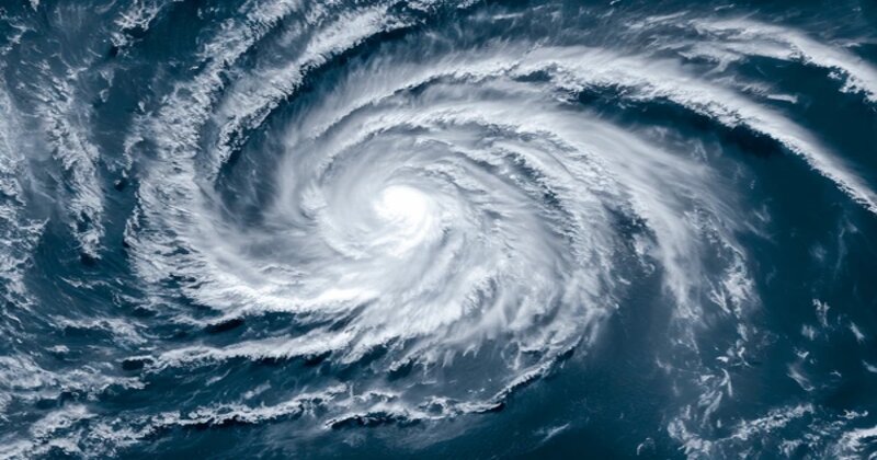
A potential severe cyclonic storm could form next week due to a low-pressure area developing over the central Bay of Bengal, triggered by a new upper air cyclonic circulation in the North Andaman Sea. According to forecasts from windy.com, which incorporates data from the European Centre for Medium Range Weather Forecasts and America’s Global Forecasting System, this low-pressure system is expected to emerge on October 20 and may intensify into a depression in the subsequent days. The U.S.-based National Centres for Environmental Prediction (NCEP) suggests it could evolve into a cyclone by the end of next week, likely named ‘Dana,’ as proposed by Qatar, though its exact path and intensity remain uncertain.
The Indian Meteorological Department’s regional center in Kolkata has indicated that this low-pressure area could lead to light to moderate rainfall in the Gangetic regions of South Bengal, including Kolkata and several surrounding districts, on October 23 and 24. Additionally, there is a warning for coastal residents as sea waves could reach heights of five feet or more, although fishermen are not currently prohibited from venturing into the sea.
Over the next 24 to 48 hours, light to moderate rainfall is anticipated in North Bengal’s districts such as Darjeeling, Kalimpong, and Jalpaiguri. While rain is expected in these hilly areas, the weather office has reported no immediate concerns regarding landslides or flooding. In Odisha, heavy rain and thunderstorms are predicted in districts including Puri, Balasore, and Cuttack.

Post Your Comments