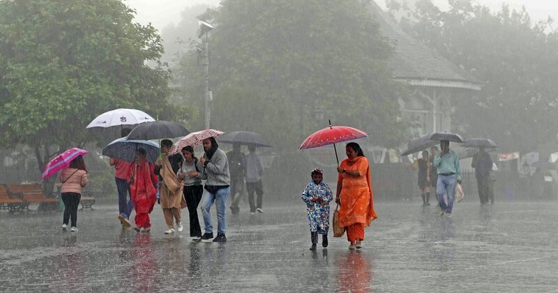
The Northeast Monsoon has entered a new phase in Tamil Nadu, with a low-pressure system in the East Indian Ocean intensifying into a deep depression over the southwest and adjoining southeast Bay of Bengal. This system is forecast to move towards the Sri Lanka-Tamil Nadu coast, resulting in widespread rainfall across Chennai and other districts starting today. The Meteorological Department anticipates increasing rainfall as the system approaches the region.
Private weather analyst Pradeep John has predicted heavy rainfall in Chennai and nearby districts, particularly during the evening and night hours. Although the depression is located far from Chennai, its northern segment is expected to bring significant downpours. In addition to Chennai, areas like Puducherry, Villupuram, Tiruvannamalai, and Kallakurichi are also likely to experience heavy rainfall as the weather system progresses.
The delta regions of Tamil Nadu are under high alert, with very heavy rainfall forecasted for areas such as Nagapattinam, Tiruvarur, Mayiladuthurai, Cuddalore, Thanjavur, Trichy, Perambalur, Ariyalur, and Pudukkottai over the next two days. Tourists are advised to avoid Kodaikanal and Coonoor due to the likelihood of intense rainfall, as the depression is expected to pass through these locations before moving towards the Arabian Sea. These regions are currently identified as heavy rain hotspots during this weather event.

Post Your Comments